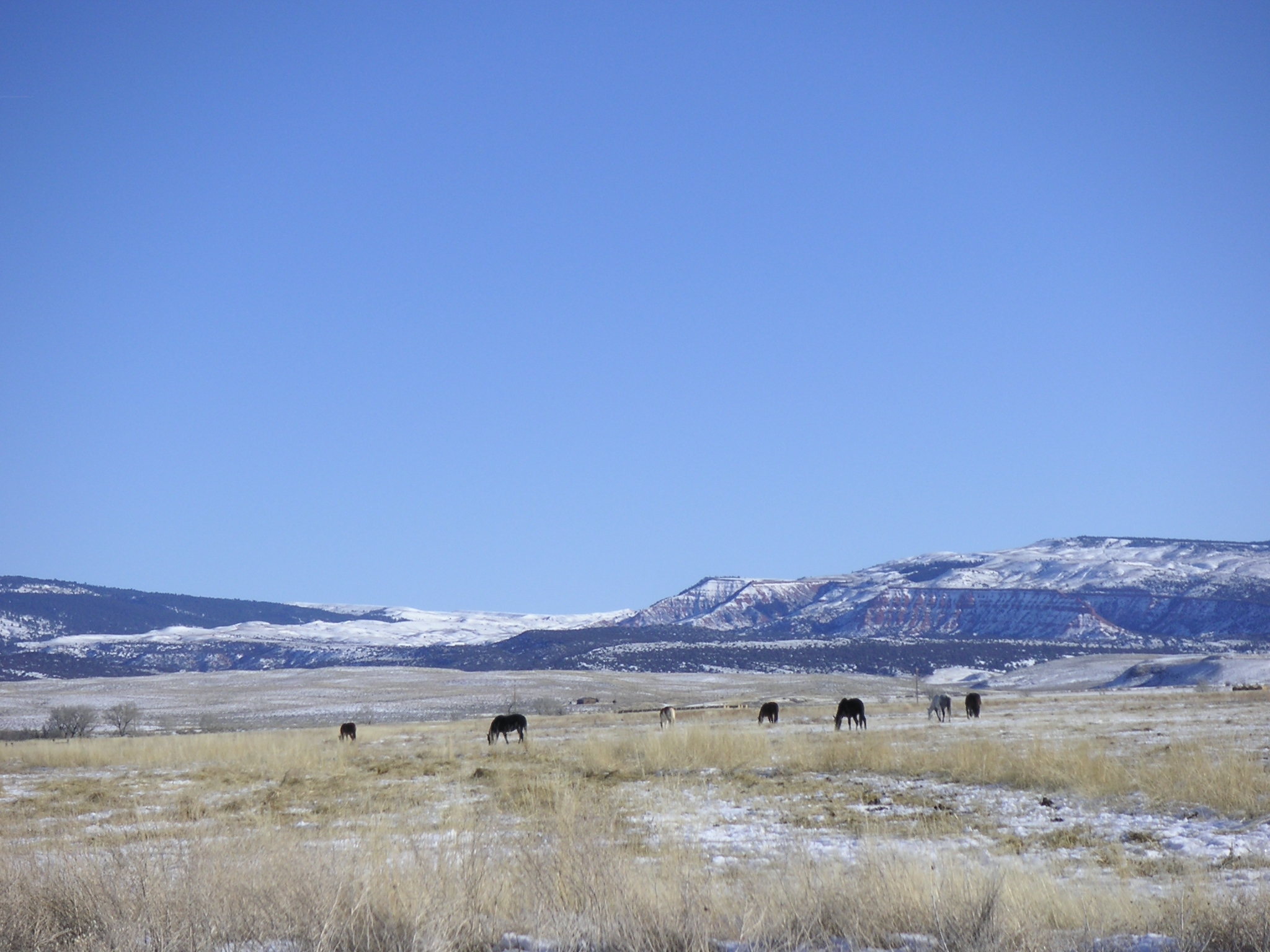
 Finally, a little more snow in central Wyoming today. We’ve only had one other snow event giving a paltry few inches. We were up on Casper Mountain Saturday and I commented that it looked like the average October dusting, not what we hope to see at the end of January. Powder Pass in the southern Bighorns wasn’t much better when we visited in mid January. I would estimate the snow at 10,000 feet to be around 8 inches instead of the usual 5-6 feet.
I say “usual” but there really is no such thing in Wyoming (except maybe in the northwest corner). Wild variations are the norm whether we are discussing temperatures or precipitation. While knowing that fact braces us up, it is no comfort when we are experiencing drought. The lower North Platte River basin is at less than 30% of average precipitation as of the end of December 2012, and almost two-thirds of Wyoming is categorized as in “extreme” drought or “exceptional” drought.1 Thankfully, the Big Horn and Tongue River Basins in the north and the Little Snake and Upper North Platte are fairing better, but still below normal (71% to 90%).
At this point we hope for late winter and early spring snows to lift us out of the drough, and we are not without precedent for that. Many of the big snow events have historically occurred in February, March and April. Early spring snows are usually heavier with water content than Dec/Jan snows, but that’s a bitter sweet scenario for ranchers who are calving or lambing.
1 http://www.wrds.uwyo.edu/sco/data/climate_summaries/Climate_Summary_2012Dec.html

That’s incredible. Hopefully you’ll get some late snows to help with the drought.
We are hopeful!